MRV PLATFORM / DATA SOLUTION
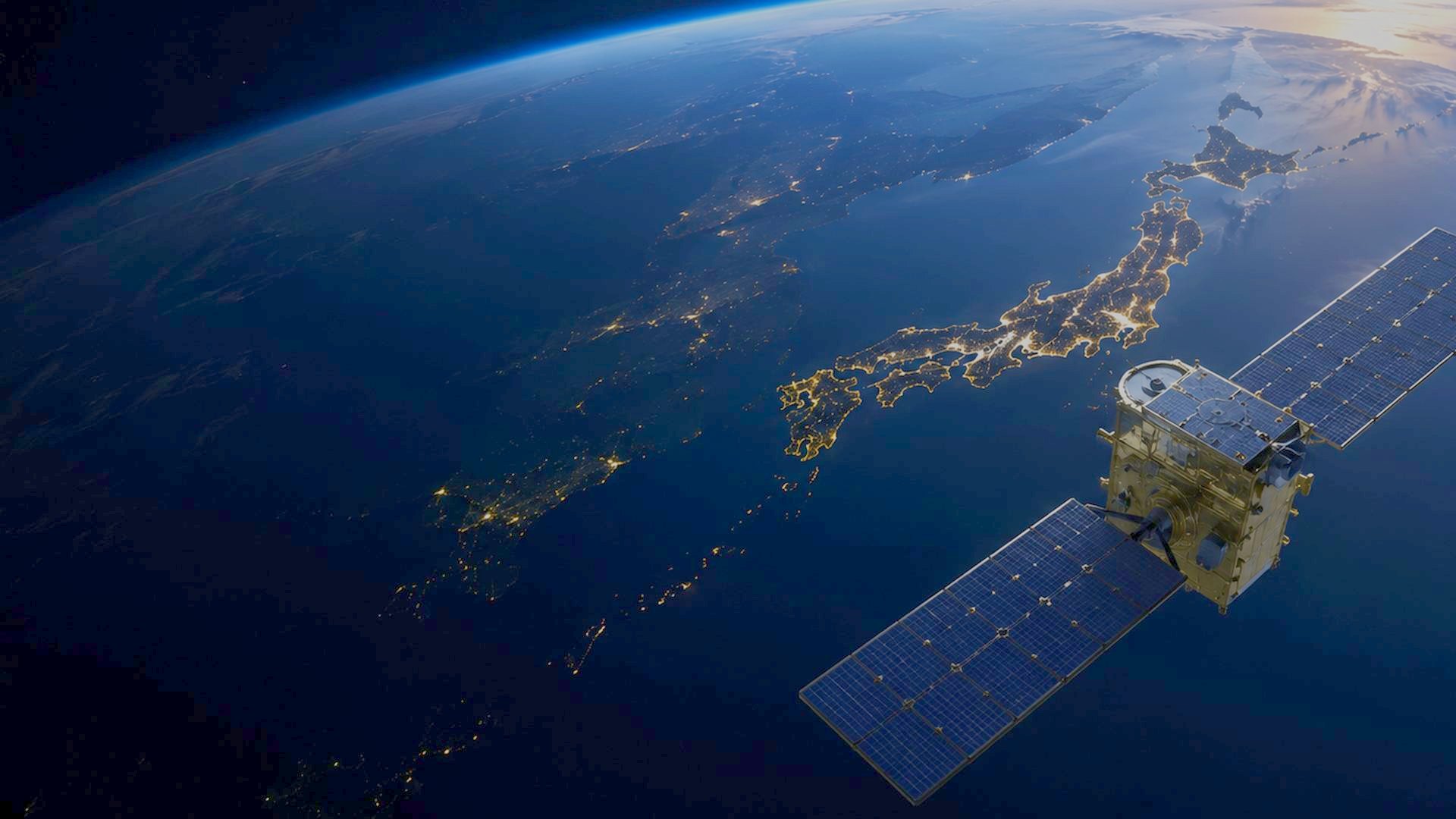
GBS brings satellite and other data from providers in Japan and around the world together, integrating and analysing the datasets best suited for each client's objectives. We then deliver actionable insights tailored to support business management and operations.
CORE SERVICE 01
EARTH VISION
MRV Platform and Data Solutions
CAPABILITIES
Three Core Capabilities
-
 01
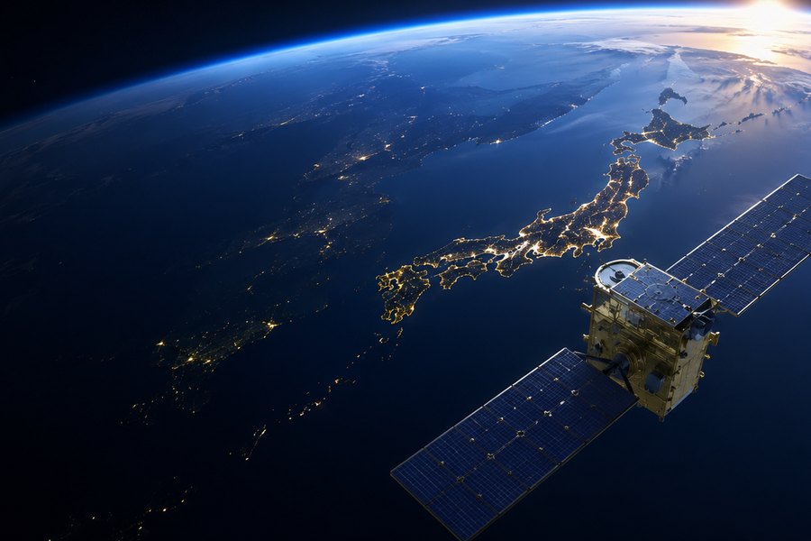
Data Selection and Supply
We select the most suitable combination of satellite data and other sensing methods by considering the target, required resolution, complementary sensors and overall cost. Integrating multiple data sources can improve measurement accuracy and make the results more useful in practice.
-
 02
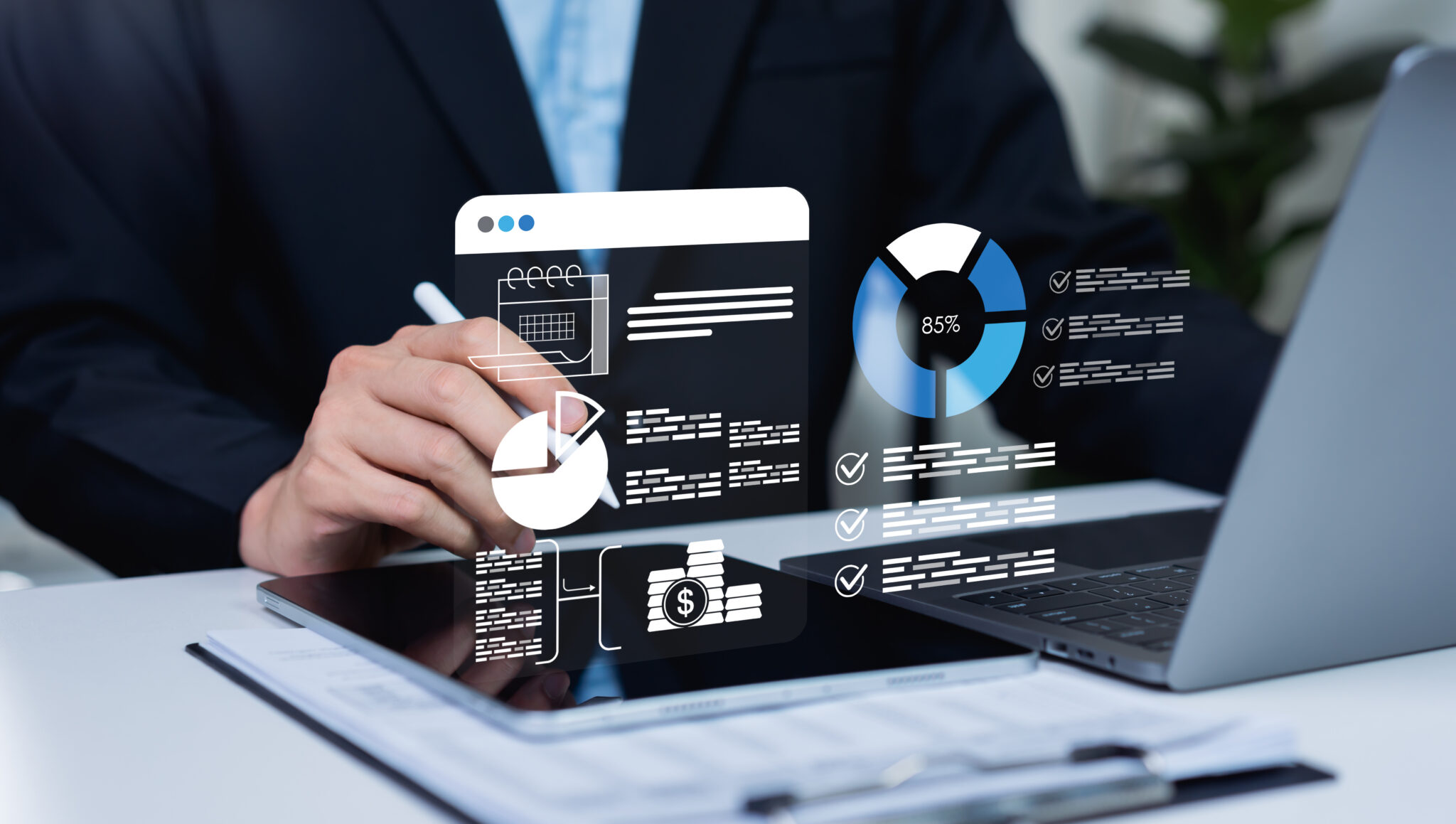
Analysis and Visualisation
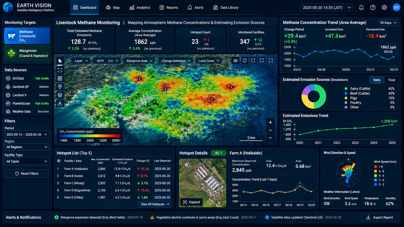
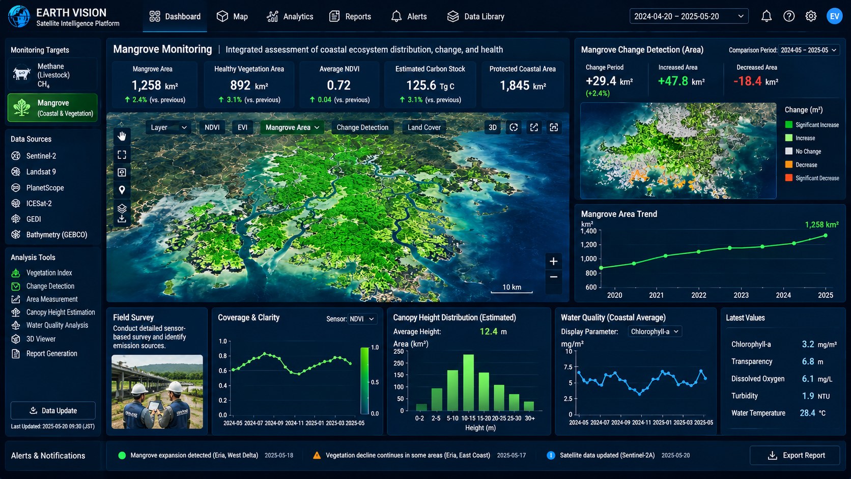
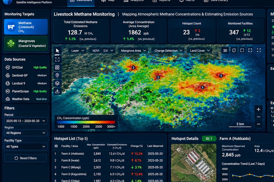
Our AI automatically analyses specialised observation data and transforms it into clear, actionable insights. These can take the form of concentration maps, time-series trends and area comparisons, tailored to the specific questions each client seeks to answer.
-
 03
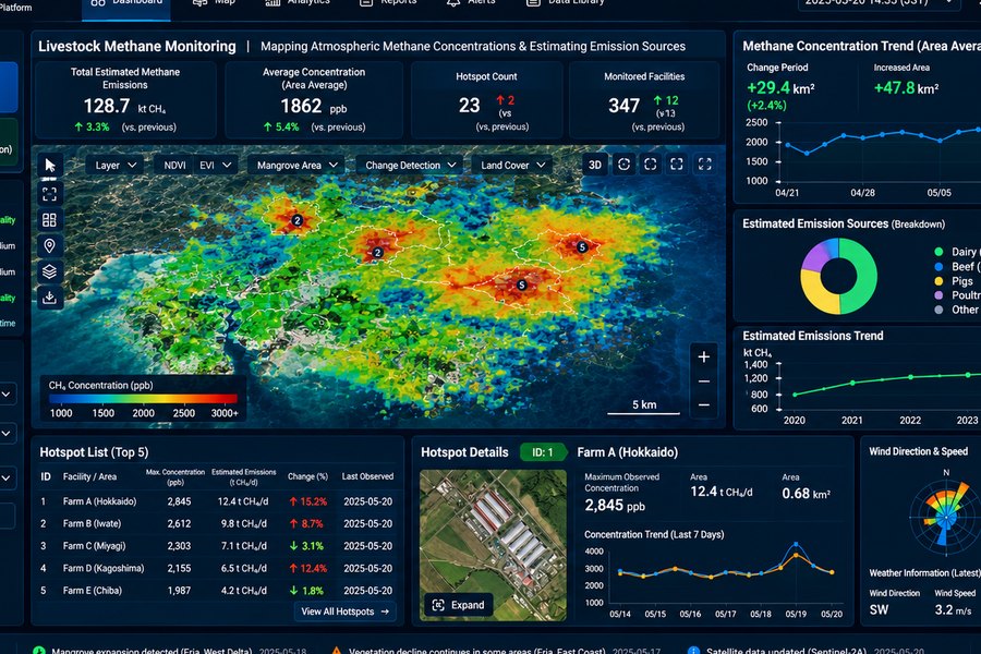
The Earth Vision Platform
All results remain accessible through the Earth Vision MRV platform. When monitoring multiple clusters, users can switch between monitoring targets, filter results by measurement period, set alerts and export reports. These capabilities support internal information sharing and informed decision-making.
SCALABILITY
Three Dimensions of Expansion
Earth Vision expands its capabilities along three dimensions: measurement targets, satellite data sources and fields of application. By progressively broadening each dimension, Earth Vision evolves beyond a single-purpose tool into a versatile MRV platform serving a wide range of industries.
-
 01
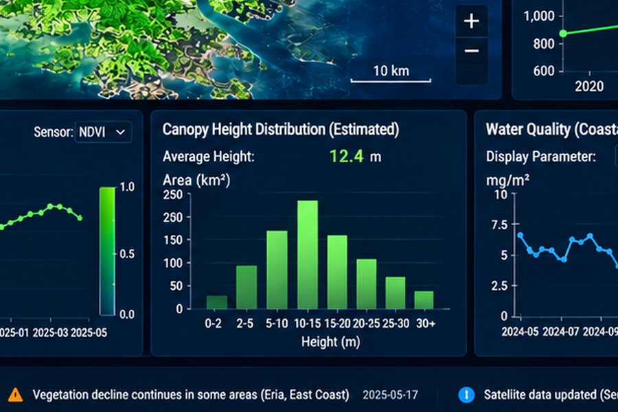
More measurement targets
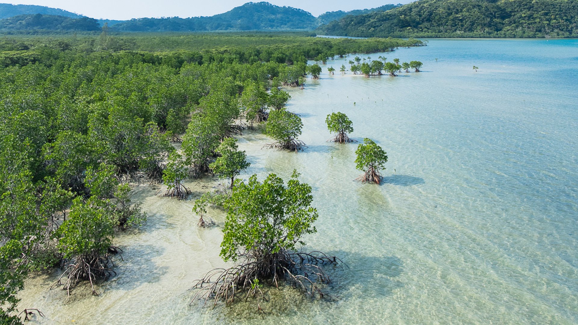
Starting from cluster measurement of methane concentration, we add data as applications require — including beyond GX: vegetation in agriculture, forestry and marine plants; water temperature and salinity for fisheries; precipitation and sea surface height.
-
 02
More satellites and sensors
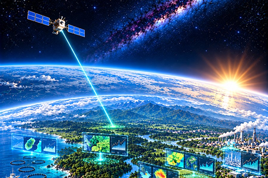
Rather than depending on one satellite, we keep adding sensor-based data sources that fit the objective — hyperspectral, LIDAR, microwave, SAR.
-
 03
More industries and clients
From livestock to agriculture, forestry, ocean, urban infrastructure, energy and disaster response — towards a data platform usable across almost any field society needs.
MEASUREMENT
Sensor types and their uses
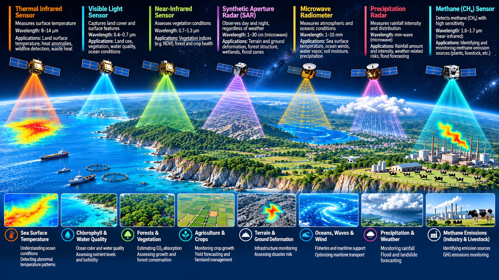
Typical applications of satellite and other sensing data include the following.
-
Methane concentration
Source identification and monitoring in livestock farming, agriculture, petrochemical plants and similar settings
-
Vegetation index (NDVI etc.)
Monitoring plant growth in forestry, brackish-water vegetation and agriculture; crop yield forecasting
-
Terrain and ground movement
Infrastructure condition monitoring, identification of wetlands and flooded areas, disaster risk assessment
-
Sea surface temp. (SST)
Understanding the marine environment, detecting anomalous temperatures, aquaculture management; on land, fire and surface temperature monitoring
-
Chlorophyll and water quality
Monitoring photosynthetic conditions, turbidity and nutrient status of plants
-
Currents, waves and wind
Impact assessment and support for fisheries and aquaculture facilities, optimisation of maritime operations
-
Precipitation and weather
Understanding rainfall, forecasting flood and landslide risk
-
Imagery
Detection and identification of targets using SAR combined with high-resolution optical sensors
SATELLITES & SENSORS
Representative sensors and their uses
The range of satellites and sensors whose data we adopt grows with the industries and measurement targets we cover.
-
Thermal infrared
Measures land surface and sea surface temperature (SST).
-
Visible light
Measures the colour and form of the land surface.
-
Near infrared
Measures the vitality of vegetation, including NDVI.
-
SAR (synthetic aperture radar)
All-weather; used for terrain and ground displacement and for biomass estimation.
-
Microwave
Used for atmospheric and weather-related measurement such as sea surface temperature, wind and water vapour.
-
Methane detection
High-resolution methane concentration observation, central to source identification and monitoring.
BUSINESS MODEL
Business model
Ongoing support that evolves with your needs — not just a one-time engagement.
-
 01
Platform
Through Earth Vision, the core of our data service, we deliver data to clients continuously while regularly upgrading the menu and the analytical methods behind it.
-
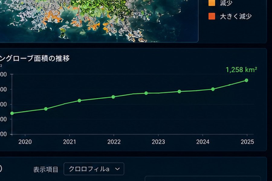 02
Individual analysis and reports
We also provide bespoke services beyond the standard Earth Vision offering, including analysis of specific areas or periods and preparation of internal reports or disclosure materials.
-
 03
Integration with existing systems
Data from Earth Vision is delivered by API as standard, and integration with a client's own systems can also be considered.
-
 04
Additional services
Onboarding training for Earth Vision, client-specific HMI development, outsourced data analysis and continuous monitoring are also available.
The right combination of sensing data
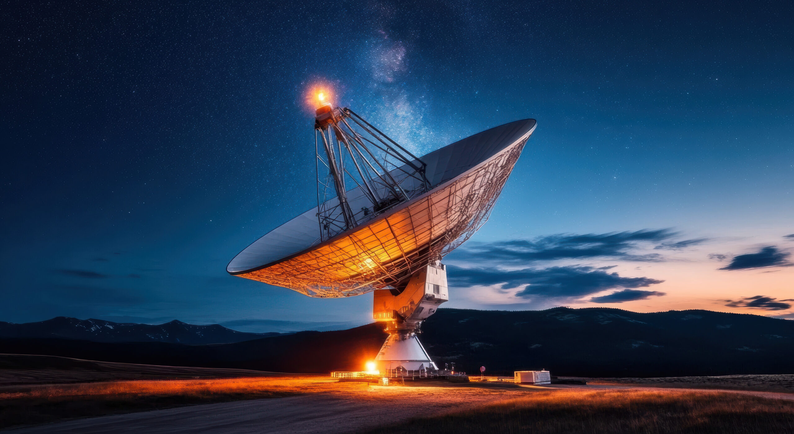
Beyond selecting sensing data from a range of satellites, we combine it with low-altitude and ground-based sensing to arrive at the best answer for the objective.
PROCESS
How We Work
-
01
Discovery
We discuss your challenges and objectives, then recommend the solution best suited to your needs.
-
02
Data design
We identify the data and analytical approach best suited to your objectives, then propose an implementation plan.
-
03
Analysis
Once the work is agreed, measurement data is acquired and analysed, and a visualised model is delivered in Earth Vision.
-
04
Ongoing monitoring
Continuous monitoring and analysis, alerts and data integration are provided through Earth Vision.
CONTACT
Put Satellite Data to Work for Your Business
Contact us to discuss satellite data applications, GX and decarbonisation management, J-Credit projects or public funding.
Our specialists will recommend an approach tailored to your needs.